About This Location
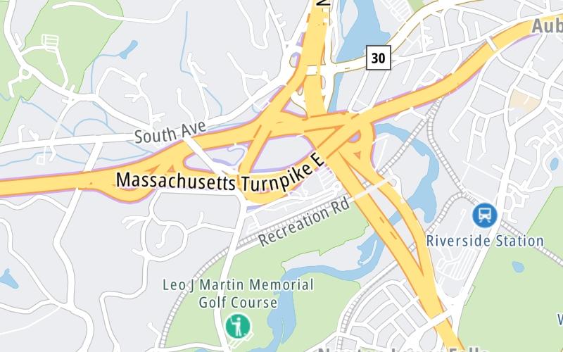
Using The POI Map
The interactive map will help you orient this location in relationship to other junctions.
Current driving conditions and weather may also be found below the map.
See below for more about this area
The interactive map will help you orient this location in relationship to other junctions.
Current driving conditions and weather may also be found below the map.

Drizzle
40°F / 4.5°C
Feels Like:
42°F / 5.7°C
Visibility
0 Mi / 0.8 Km
3-Hour Precip:
0 In / 0.0 Cm
East
Winds (E)
1.1 MPH / 1.7 KPH
Gusts:
3.3 MPH / 5.3 KPH
▸ Get the full forecast for the Boston area
Conditions and forecasts provided in partnership with AccuWeather.

Weather provided in partnership with AccuWeather.
There is no currently-available traffic camera feed for this location.
There are no currently-available photos for this location.
Journey to key destinations around and adjacent to Massachusetts!
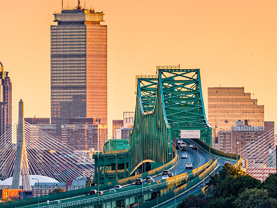
Communities in this metro area include Boston, Cambridge, Chelsea, Allston, Framingham, Westborough, and Worcester.
Individual toll maps for this region are listed below.
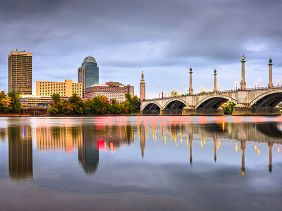
Communities in this metro area include Springfield, West Springfield, Chicopee, Westfield, and Hartford, Connecticut.
Individual toll maps for this region are listed below.
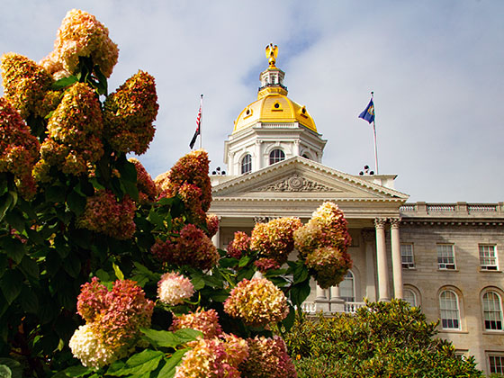
Communities in this metro area include Hooksett, Concord, Manchester, and West Concord.
Individual toll maps for this region are listed below.
Communities in this metro area include Albany, Schenectady, Rotterdam, Amsterdam, and West Stockbridge, Massachusetts.
Individual toll maps for this region are listed below.

 Massachusetts Turnpike ▹
 Sumner & Callahan Tunnels ▹
 Ted Williams Tunnel ▹
 Tobin Memorial Bridge ▹
 Blue Star Turnpike ▹
 Everett Turnpike ▹
 New York State Thruway ▹


