Map & services within two (2) miles
Interactive map shows available cameras, plus nearby fuel, food and lodging


See below for more about this area
Interactive map shows available cameras, plus nearby fuel, food and lodging
See below for more about this area
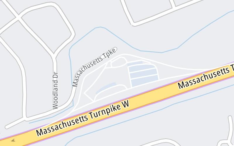
This travel plaza is located in Framingham.
This location is in the Boston area.
This location's approximate GPS Coordinates are 42.31225 x -71.42888.
On to Route 30, about 2.3 miles away ►
◄ Back to Route 9, about 3.0 miles away.
Above: Map image © TomTom Intl BVThe interactive map and lists on this page include key traveler services within two miles of this destination point.
You will find common services, including gas stations, truck stops, EV charging facilities, fast-food or family restaurants, and hotels. These are displayed on the interactive map as markers, which you can select for more information.
Current driving conditions and weather, along with a more complete list of key services, may be found below the map.

Sunny
51°F / 10.4°C
Feels Like:
50°F / 10°C
Visibility
31 Mi / 49.9 Km
3-Hour Precip:
0 In / 0.0 Cm
Northwest
Winds (NW)
5 MPH / 8.1 KPH
Gusts:
11.3 MPH / 18.2 KPH
▸ Get the full forecast for This Location | The Boston area
Conditions and forecasts provided in partnership with AccuWeather.

Weather provided in partnership with AccuWeather.

I-90-EB-MM116.6-NATICK-EX 117 RT 30
Camera Direction: EAST. Source: MassDOT - Boston 01701
Cameras Closest To Framingham Service Plaza Westbound
2.25 Mi
3.02 Mi
There are no currently-available photos for this location.
The map above shows all services within about a two (2) mile radius.

Destination Travel

Closest Gas Stations
SUNOCO
669 Worcester Road • 0.92 miles
Store/Fuel Brand: Sunoco
MOBIL
1063 Worcester Road • 1.05 miles
Store/Fuel Brand: Mobil
A L PRIME ENERGY
1115 Worcester Road • 1.13 miles
Store/Fuel Brand: Al Prime
SUNOCO
554 Worcester Road • 1.14 miles
Store/Fuel Brand: Sunoco
Closest EV Chargers
FRAMINGHAM STATE UNIVERSITY FACILITIES BUILDING LOT
23 Salem End Road • 1.06 miles
CONNECTOR: IEC62196Type1
POWER: 7 KW @ 240 V
CURRENT: 30 Amp AC1
FRAMINGHAM NISSAN
571 Worcester Road • 1.10 miles
CONNECTOR: IEC62196Type1
POWER: 7 KW @ 240 V
CURRENT: 30 Amp AC1
NOURIA
876 Edgell Road • 1.17 miles
CONNECTOR: IEC62196Type1CCS
POWER: 320 KW @ 640 V
CURRENT: 500 Amp DC
CHARGEPOINT
500 Worcester Road • 1.18 miles
CONNECTOR: IEC62196Type1CCS
POWER: 62 KW @ 1000 V
CURRENT: 62 Amp DC

Closest Fast Food
Fast food refers ONLY to quick-service and take-out diners. All restaurant types are shown on the map above.
CAFE FRESH BAGELS
957 Worcester Road • 0.85 miles
B SISTERS CAFE
680 Worcester Road • 1.01 miles
BOSTON MARKET
7 Moulton Park Road • 1.06 miles
JERSEY MIKES SUBS
571 Worcester Road • 1.07 miles
KFC
149 Cochituate Road • 1.33 miles
TACO BELL
149 Cochituate Road • 1.33 miles
MCDONALD'S
1223 Worcester Road • 1.36 miles
BELLAS PIZZERIA
969 Concord Street • 1.44 miles
Journey to key destinations around and adjacent to Massachusetts!
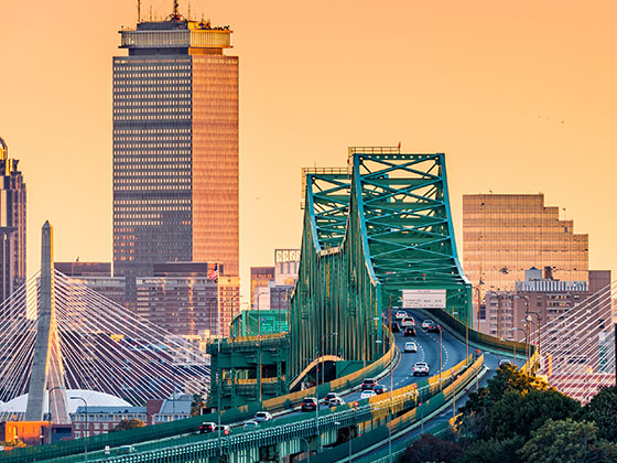
Communities in this metro area include Boston, Cambridge, Chelsea, Allston, Framingham, Westborough, and Worcester.
Individual toll maps for this region are listed below.
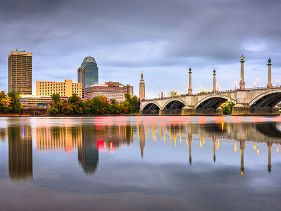
Communities in this metro area include Springfield, West Springfield, Chicopee, Westfield, and Hartford, Connecticut.
Individual toll maps for this region are listed below.
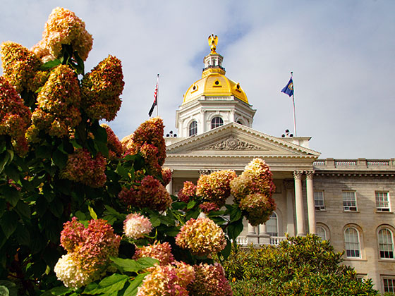
Communities in this metro area include Hooksett, Concord, Manchester, and West Concord.
Individual toll maps for this region are listed below.
Communities in this metro area include Albany, Schenectady, Rotterdam, Amsterdam, and West Stockbridge, Massachusetts.
Individual toll maps for this region are listed below.

 Massachusetts Turnpike ▹
 Sumner & Callahan Tunnels ▹
 Ted Williams Tunnel ▹
 Tobin Memorial Bridge ▹
 Blue Star Turnpike ▹
 Everett Turnpike ▹
 New York State Thruway ▹


