Lake Pontchartrain Causeway Map

Advertising
Advertising
Static map a segment of the Lake Pontchartrain Causeway

A Quick Look At The Lake Pontchartrain Causeway

U.s. Causeway and Lake Pontchartrain Causeway Bridge are other names for this bridge. This bridge serves Mandeville, Lewisburg, Metmairie, and New Orleans.

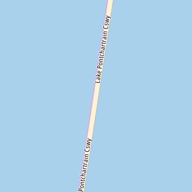
The static map seen here shows a segment of The Lake Pontchartrain Causeway at Crossover 3000. The entirety of The Lake Pontchartrain Causeway can be seen in the fully-interactive map below.

There is also a complete list of exits below the interactive map.

View Map ▾Exit / POI List ▾

What Does It Cost To Use The Lake Pontchartrain Causeway?

Tolls For Cars, SUVs, Pickups, etc.

This data will be here soon.

Transponders You Can Use

For drivers paying with a transponder, the following passes will work on the Lake Pontchartrain Causeway

  • toll tag

View Map ▾All Tolls / Calculator ▸

Our new toll and trip calculator is being constructed. You can still use the legacy calculator for current, accurate tolls.

Advertising
Advertising

Using The Interactive Toll Map

You may pan and zoom the interactive map. There are markers you may select for a separate map of that point of interest or location, which will show any nearby dining, gas, EV charging, hotels and other services.

A complete list of exits and other points-of-interest may be found below the map. Exits and gantries will display the toll agency responsible for tolls on that portion of the roadway.

View Map ▾Exit / POI List ▾

Advertising
Advertising

The Lake Pontchartrain Causeway Toll Map

This map of the Lake Pontchartrain Causeway displays markers for exits and tolling points, which you can select to get a close-up map of that point of interest or location.

The points-of-interest shown on this map are also listed below, ordered from south to north.

Discover Louisiana Attractions

Advertising
Advertising

List Of Exits / Points Of Interest For The Lake Pontchartrain Causeway

Select an exit or other location to get a separate map, including locations of available gas, EV charging, fast-food and other dining options, plus current weather and driving conditions.

6th Street

6th Street — Metairie

View Map & Info

▸ GPS 30.017905000 X -90.154520000
NOTES: South terminus of causeway / N Causeway Blvd at 6th St

The Causeway Commission Greater New Orleans Expressway Commission manages this segment.

Crossover 7000

Crossover 7000

View Map & Info

▸ GPS 30.070207000 X -90.145323000
NOTES: Causeway turnaround / requires police escort: 504-835-3116

The Causeway Commission Greater New Orleans Expressway Commission manages this segment.

Crossover 6000

Crossover 6000

View Map & Info

▸ GPS 30.127557000 X -90.135382000
NOTES: Causeway turnaround / requires police escort: 504-835-3115

The Causeway Commission Greater New Orleans Expressway Commission manages this segment.

Crossover 5000

Crossover 5000

View Map & Info

▸ GPS 30.142516000 X -90.132754000
NOTES: Causeway turnaround / requires police escort: 504-835-3114

The Causeway Commission Greater New Orleans Expressway Commission manages this segment.

South emergency turnout

South emergency turnout

View Map & Info

▸ GPS 30.170996000 X -90.127586000
NOTES: Emergency shoulders, both spans in both directions

The Causeway Commission Greater New Orleans Expressway Commission manages this segment.

Crossover 4000

Crossover 4000

View Map & Info

▸ GPS 30.199783000 X -90.122723000
NOTES: Causeway turnaround / requires police escort: 504-835-3114

The Causeway Commission Greater New Orleans Expressway Commission manages this segment.

Crossover 3000

Crossover 3000

View Map & Info

▸ GPS 30.242698000 X -90.115175000
NOTES: Causeway turnaround / requires police escort: 504-835-3114

The Causeway Commission Greater New Orleans Expressway Commission manages this segment.

Causeway Bascule / Drawbridge

Causeway Bascule / Drawbridge

View Map & Info

▸ GPS 30.250177000 X -90.113729000
NOTES: Bascule section of the causeway bridge

The Causeway Commission Greater New Orleans Expressway Commission manages this segment.

Crossover 2000

Crossover 2000

View Map & Info

▸ GPS 30.257643000 X -90.112547000
NOTES: Causeway turnaround / requires police escort: 504-835-3114

The Causeway Commission Greater New Orleans Expressway Commission manages this segment.

Crossover 1000

Crossover 1000

View Map & Info

▸ GPS 30.314946000 X -90.102456000
NOTES: Causeway turnaround / requires police escort: 504-835-3114

The Causeway Commission Greater New Orleans Expressway Commission manages this segment.

North emergency turnout

North emergency turnout

View Map & Info

▸ GPS 30.339207000 X -90.097993000
NOTES: Emergency shoulders, both spans in both directions

The Causeway Commission Greater New Orleans Expressway Commission manages this segment.

North Shore Toll Plaza

North Shore Toll Plaza — Mandeville

View Map & Info

▸ GPS 30.365209000 X -90.093826000
NOTES: Southbound only charged

The Causeway Commission Greater New Orleans Expressway Commission manages this segment.

North Shore terminus

North Shore terminus — Mandeville

View Map & Info

▸ GPS 30.366626000 X -90.093377000
NOTES: North terminus of causeway / To East, West and North Causeway Approaches

The Causeway Commission Greater New Orleans Expressway Commission manages this segment.

Advertising
Advertising

EXPLORE LOUISIANA

Journey to key destinations around and adjacent to Louisiana!

Map Of This Region ▹

Communities in this metro area include New Orleans, Slidell, Metairie, Mandeville, and Belle Chasse.

Individual toll maps for this region are listed below.

Map Of This Region ▹

Communities in this metro area include Houston, Humble, Tomball, Sugar Land, Galveston, Pearland, and Katy.

Individual toll maps for this region are listed below.

Advertising
Advertising
Turnpikes.com is proud to partner with the following: