Your selected location relative to roadway
See below for more about this area
See below for more about this area
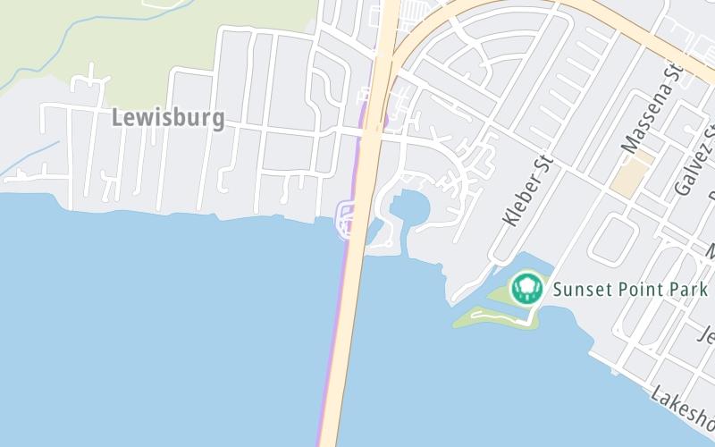
This toll point is located in Mandeville. Chinchuba and Madisonville are nearby. NOTE: Southbound only charged.
This location is in the New Orleans - Mississippi Gulf area.
This location's approximate GPS Coordinates are 30.36521 x -90.09383.
On to North Shore terminus, about 0.1 miles away ►
◄ Back to North emergency turnout, about 1.8 miles away.
Above: Map image © TomTom Intl BVThe interactive map will help you orient this location in relationship to other junctions.
Current driving conditions and weather may also be found below the map.

Cloudy
64°F / 18°C
Feels Like:
65°F / 18.2°C
Visibility
8 Mi / 12.9 Km
3-Hour Precip:
0 In / 0.0 Cm
East Northeast
Winds (ENE)
4.9 MPH / 7.8 KPH
Gusts:
16.2 MPH / 26.1 KPH
▸ Get the full forecast for the New Orleans - Mississippi Gulf area
Conditions and forecasts provided in partnership with AccuWeather.

Weather provided in partnership with AccuWeather.

US 190 @ LA 22
Camera Direction: SOUTH. Source: LADOTD - Hammond 70471
Cameras Closest To North Shore Toll Plaza
2.01 Mi
There are no currently-available photos for this location.
Journey to key destinations around and adjacent to Louisiana!
Communities in this metro area include New Orleans, Slidell, Metairie, Mandeville, and Belle Chasse.
Individual toll maps for this region are listed below.

Communities in this metro area include Houston, Humble, Tomball, Sugar Land, Galveston, Pearland, and Katy.
Individual toll maps for this region are listed below.
 Lake Pontchartrain Causeway ▹
 Grand Parkway ▹
 Hardy Toll Road ▹
 Sam Houston Tollway ▹
 Tomball Tollway ▹
 Westpark Tollway ▹


