About This Location
At A Glance
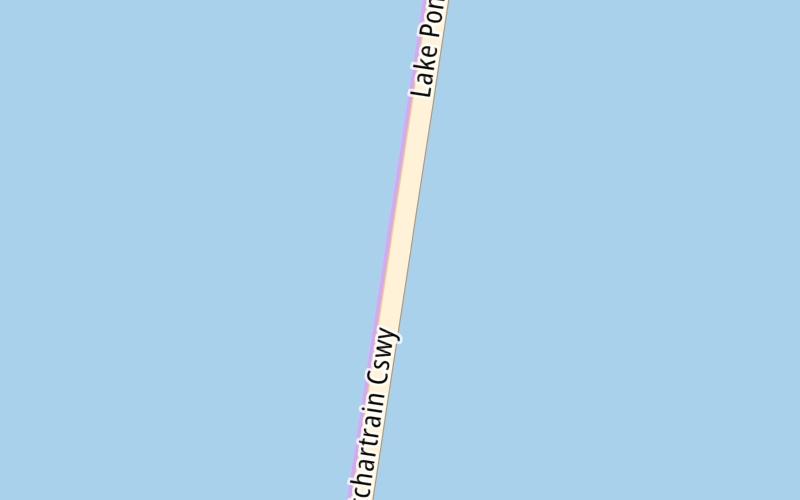
This junction is located in . NOTE: Causeway turnaround / requires police escort: 504-835-3114.
This location is in the New Orleans - Mississippi Gulf area.
This location's approximate GPS Coordinates are 30.31495 x -90.10246.
Which directions can I travel from here?
From this junction, traffic can enter traveling both southbound and northbound. Traffic can also exit traveling both southbound and northbound.
On to North emergency turnout, about 1.8 miles away ►
◄ Back to Crossover 2000, about 4.0 miles away.
Which direction are tolls charged here?
Tolls are not charged or collected at this junction.
Above: Map image © TomTom Intl BVUsing The POI Map
The interactive map will help you orient this location in relationship to other junctions.
Current driving conditions and weather may also be found below the map.


 Lake Pontchartrain Causeway ▹
 Grand Parkway ▹
 Hardy Toll Road ▹
 Sam Houston Tollway ▹
 Tomball Tollway ▹
 Westpark Tollway ▹


