A Quick Look At The Houbolt Road Extension
This bridge serves Joliet and Chicago.
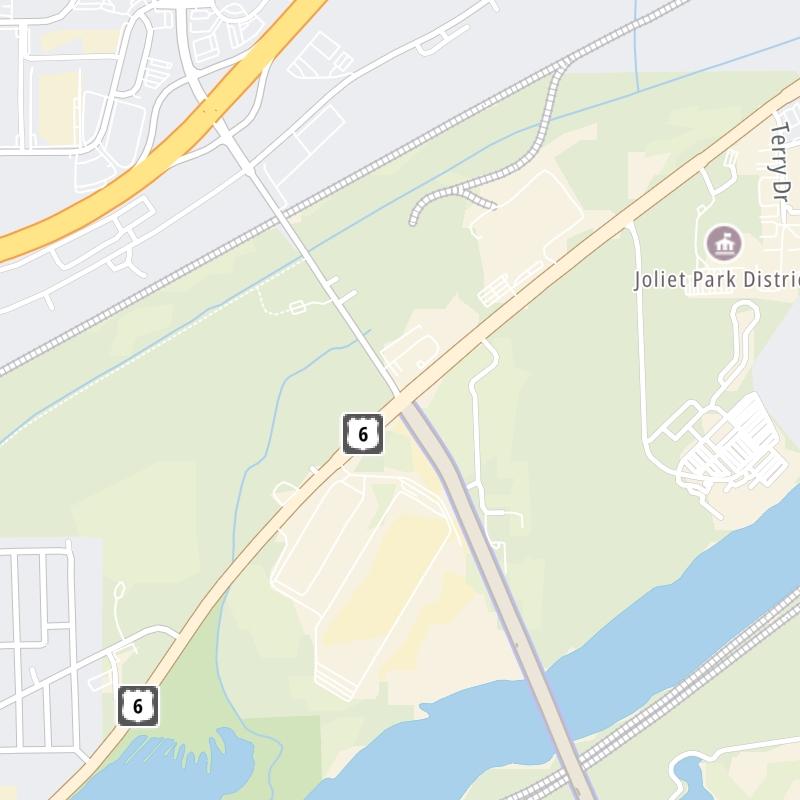
The fixed map seen here presents a quick view of The Houbolt Road Extension and surrounding area. The fully-interactive map of The Houbolt Road Extension abvoe includes linked markers. You may resize and reposition the interactive map to orient the road in relation to other landmarks.
There is also a complete list of exits below.
What Does It Cost To Use The Houbolt Road Extension?
Tolls For Cars, SUVs, Pickups, etc.
▹ Toll as of April 1, 2024.
The total toll for using the Houbolt Road Extension is $2.15, if you are using a compatible transponder, RFID sticker or other pass.
Transponders You Can Use
For drivers paying with a transponder, the following passes will work on the Houbolt Road Extension

- e-zpass
- epass xtra
- i-pass
- quick pass
- riverlink
- sunpass pro
- uni


Learn about transponders and accounts in Illinois.
Without a compatible pass or transponder, the toll will be $6.15.
View MapAll Tolls / Calculator ▸
Our new toll and trip calculator is being constructed. For most roads, you can still use the legacy calculator for current, accurate tolls.


 Chicago Skyway ▹
 Jane Addams Memorial Tollway ▹
 Ronald Reagan Memorial Tollway ▹
 Tri State Tollway ▹
 Veterans Memorial Tollway ▹
 Cline Avenue Bridge ▹
 Houbolt Road Extension ▹
 Indiana Toll Road ▹
 Ohio Turnpike ▹


