Map & services within two (2) miles
Interactive map shows available cameras, plus nearby fuel, food and lodging


See below for more about this area
Interactive map shows available cameras, plus nearby fuel, food and lodging
See below for more about this area
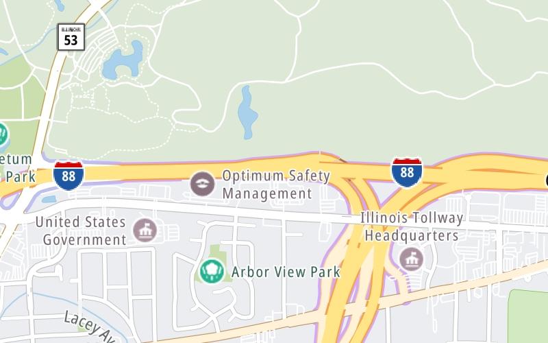
This is Exit 131 of the Ronald Reagan Memorial Tollway.
This junction is located in Lisle. Woodridge is nearby.
This location is in the Chicagoland - Northwestern Indiana area.
This location's approximate GPS Coordinates are 41.81010 x -88.05975.
Which directions can I travel from here?
From this junction, traffic can only enter going westbound. Traffic can only exit going eastbound.
On to I–88 WB to I–355 SB / I–355 NB to I–88 E, about 2.1 miles away ►
◄ Back to IL 53, about 1.1 miles away.
▹ The Ronald Reagan Memorial Tollway and the Veterans Memorial Tollway connect here.
Which direction are tolls charged here?
Tolls are not charged or collected at this junction.
Above: Map image © TomTom Intl BVThe interactive map and lists on this page include key traveler services within two miles of this destination point.
You will find common services, including gas stations, truck stops, EV charging facilities, fast-food or family restaurants, and hotels. These are displayed on the interactive map as markers, which you can select for more information.
Current driving conditions and weather, along with a more complete list of key services, may be found below the map.

Clear
30°F / -1°C
Feels Like:
33°F / 0.7°C
Visibility
10 Mi / 16.1 Km
3-Hour Precip:
0 In / 0.0 Cm
Northeast
Winds (NE)
1.7 MPH / 2.7 KPH
Gusts:
4.6 MPH / 7.4 KPH
▸ Get the full forecast for This Location | The Chicagoland - Northwestern Indiana area
Conditions and forecasts provided in partnership with AccuWeather.

Weather provided in partnership with AccuWeather.
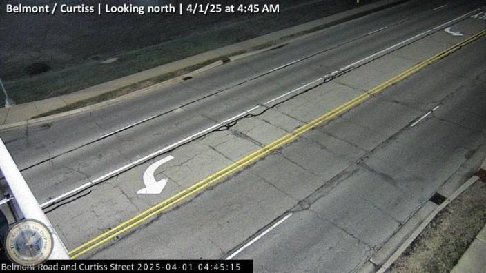
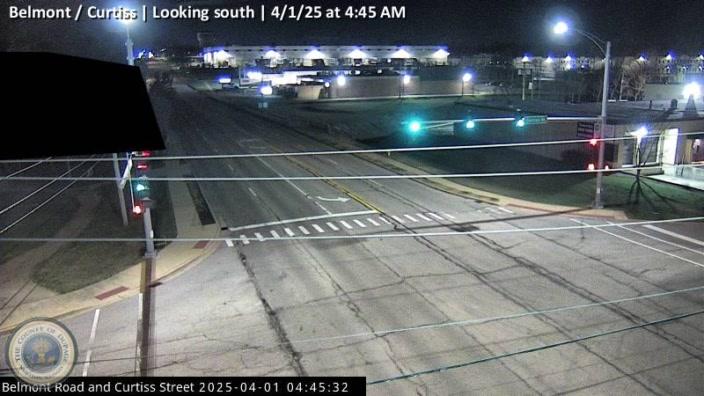
BELMONT / CURTISS
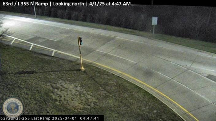
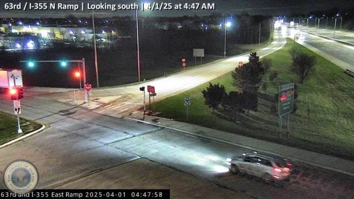
Camera Direction: NORTH. Source: GCM - undetermined 60515
Cameras Closest To I–88 EB to I–355 SB / I–355 NB to I–88 W
1.65 Mi
1.65 Mi
2.73 Mi
2.73 Mi
2.73 Mi
There are no currently-available photos for this location.
The map above shows all services within about a two (2) mile radius.

Destination Travel

Closest Gas Stations
SPEEDWAY
550 Ogden Avenue • 0.45 miles
Store/Fuel Brand: Speedway
CRAIGS BP
1101 Warrenville Road • 0.84 miles
Store/Fuel Brand: BP
SHELL
2212 Ogden Avenue • 1.08 miles
Store/Fuel Brand: Shell
POWER MART
2125 Ogden Avenue • 1.16 miles
Store/Fuel Brand:
Closest EV Chargers
VOLVO CARS LISLE - PUBLIC DCFC
4325 Lincoln Avenue • 0.87 miles
CONNECTOR: IEC62196Type1CCS
POWER: 180 KW @ 450 V
CURRENT: 300 Amp DC
VOLVO CARS LISLE - PUBLIC SERIES
4325 Lincoln Avenue • 0.87 miles
CONNECTOR: IEC62196Type1
POWER: 9 KW @ 208 V
CURRENT: 48 Amp AC1
CHARGEPOINT
1866 Ogden Avenue • 1.40 miles
CONNECTOR: IEC62196Type1CCS
POWER: 62 KW @ 1000 V
CURRENT: 62 Amp DC
CHARGEPOINT
450 Warrenville Road • 584 feet
CONNECTOR: IEC62196Type1
POWER: 6 KW @ 240 V
CURRENT: 27 Amp AC1

Closest Fast Food
Fast food refers ONLY to quick-service and take-out diners. All restaurant types are shown on the map above.
CULVER'S
2500 Ogden Avenue • 0.76 miles
MCDONALD'S
2535 Ogden Avenue • 0.78 miles
JIMMY JOHN'S
2321 Ogden Avenue • 0.97 miles
CEDAR GRILL
2223 Ogden Avenue • 1.07 miles
EURO CREPES & PIZZERIA
4740 Main Street • 1.09 miles
MCDONALD'S
3S010 State Route 53 • 1.39 miles
Journey to key destinations around and adjacent to Illinois!
Communities in this metro area include Chicago, Aurora, Oak Lawn, Des Plaines, Waukegan, Highland Park, Gary, Indiana, Schaumburg, Naperville, Oak Brook, and Joliet.
Individual toll maps for this region are listed below.
Communities in this metro area include Gary, South Bend, Elkhart, Portage, and Fremont.
Individual toll maps for this region are listed below.
 Chicago Skyway ▹
 Jane Addams Memorial Tollway ▹
 Ronald Reagan Memorial Tollway ▹
 Tri State Tollway ▹
 Veterans Memorial Tollway ▹
 Cline Avenue Bridge ▹
 Houbolt Road Extension ▹
 Indiana Toll Road ▹
 Ohio Turnpike ▹


