At A Glance
This toll plaza is located in Orlando.
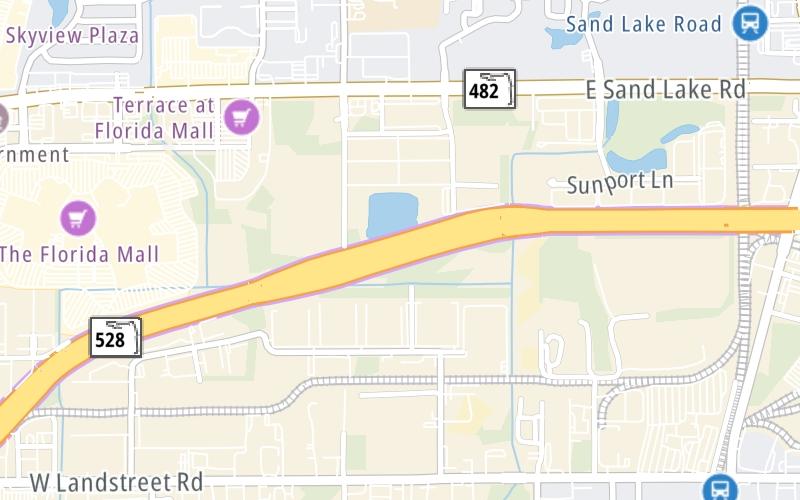
This location is in the Orlando - Space Coast area.
This location's approximate GPS Coordinates are 28.44478 x -81.38173.
The next exit is McCoy Road / Jetport Drive, approximately 2.0 miles away ►
◄ The previous exit is US 17/US 92/US 441 / Florida's Turnpike, approximately 2.0 miles away.
Which direction are tolls charged here?
- ▸ Westbound
- ▸ Eastbound
Using The POI Map
The interactive map will help you orient this location in relationship to other junctions.
Current driving conditions and weather may also be found below the map.
Because of the nature of this location, no services are displayed. On most exit or junction pages, a summary of the closest services around the junction will be shown, along with detailed lists of services within two miles.


 Garcon Point Bridge ▹
 Bob Sikes Bridge ▹
 SR 293 ▹
 First Coast Expressway ▹
 Central Florida Greeneway / Seminole Expressway ▹
 Florida's Turnpike ▹
 East West Expressway ▹
 Beachline Expressway ▹
 Western Beltway / Wekiva Parkway ▹
 Apopka Expressway ▹
 Poinciana Parkway ▹
 SR 453 ▹
 Goldenrod Road Extension ▹
 Osceola Parkway ▹
 SR 451 ▹
 Polk Parkway ▹
 Selmon Expressway ▹
 Veterans Expressway / Suncoast Parkway ▹
 Sunshine Skyway ▹
 Pinellas Bayway ▹
 Gateway Expressway ▹

 Airport Expressway ▹
 Alligator Alley ▹
 Dolphin Expressway ▹
 Don Shula Expressway ▹
 Gratigny Parkway ▹
 Sawgrass Expressway ▹
 Snapper Creek Expressway ▹
 Rickenbacker Causeway ▹
 Venetian Causeway ▹
 Card Sound Road ▹
 Sanibel Causeway ▹
 Midpoint Memorial Bridge ▹
 Cape Coral Bridge ▹


