Search to find available roads, plazas, agencies, etc.
Driving In The State Of Florida
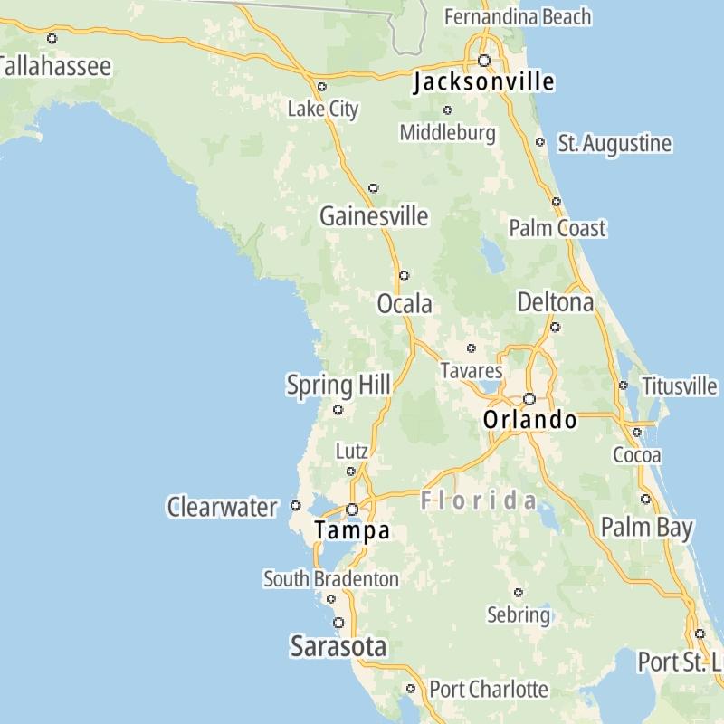
Toll roads are organized alphabetically and by type. They are also sorted into regions on the state's map below. Interstates are sorted numerically.
Alphabetical Toll Road List
There are (34) toll roads in Florida or crossing into the state.
A menu of Florida interstate highways is also shown directly below this list.
 Airport Expressway
  Alligator Alley
  Apopka Expressway
  Beachline Expressway
  Bob Sikes Bridge
  Cape Coral Bridge
  Card Sound Road
  Central Florida Greeneway/Seminole Expy
  Dolphin Expressway
  Don Shula Expressway
  East West Expressway
  First Coast Expressway
  Florida's Turnpike
  Garcon Point Bridge
  Gateway Expressway
  Goldenrod Road Extension
  Gratigny Parkway
  Midpoint Memorial Bridge
  Osceola Parkway
  Pinellas Bayway
  Poinciana Parkway
  Polk Parkway
  Rickenbacker Causeway
  Sanibel Causeway
  Sawgrass Expressway
  Selmon Expressway
  Snapper Creek Expressway
  SR 293
  SR 451
  SR 453
  Suncoast Parkway/Veterans Expy
  Sunshine Skyway
  Venetian Causeway
  Western Beltway/Wekiva Pkwy
 Florida Interstates
Simply tap the shield for the interstate you want to see.
For individual road maps, tap exits and other points of interest to see a close-up map of that location. Exit maps display nearby gas and EV charging, fast-food, hotels and other services.

 Garcon Point Bridge ▹
 Bob Sikes Bridge ▹
 SR 293 ▹
 First Coast Expressway ▹
 Central Florida Greeneway/Seminole Expy ▹
 Florida's Turnpike ▹
 East West Expressway ▹
 Beachline Expressway ▹
 Western Beltway/Wekiva Pkwy ▹
 Apopka Expressway ▹
 Poinciana Parkway ▹
 SR 453 ▹
 Goldenrod Road Extension ▹
 Osceola Parkway ▹
 SR 451 ▹
 Polk Parkway ▹
 Selmon Expressway ▹
 Suncoast Parkway/Veterans Expy ▹
 Sunshine Skyway ▹
 Pinellas Bayway ▹
 Gateway Expressway ▹

 Airport Expressway ▹
 Alligator Alley ▹
 Dolphin Expressway ▹
 Don Shula Expressway ▹
 Gratigny Parkway ▹
 Sawgrass Expressway ▹
 Snapper Creek Expressway ▹
 Rickenbacker Causeway ▹
 Venetian Causeway ▹
 Card Sound Road ▹
 Sanibel Causeway ▹
 Midpoint Memorial Bridge ▹
 Cape Coral Bridge ▹


