Traveling Florida Toll Roads
The State of Florida welcomes you!
We are wrapping up construction and migration.
This site remains in live BETA. Use the navigation cards above to begin finding your way. We are nearly completed with our migration from TurnpikeInfo.com, our previous web address dating to 2009.
New options will be available as we roll into the Spring of 2025, in time for spring break.
Thank you for your patience during this transition, from Turnpikes.com.

 Garcon Point Bridge ▹
 Bob Sikes Bridge ▹
 SR 293 ▹
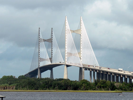
 First Coast Expressway ▹
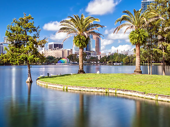
 Central Florida Greeneway/Seminole Expy ▹
 Florida's Turnpike ▹
 East West Expressway ▹
 Beachline Expressway ▹
 Western Beltway/Wekiva Pkwy ▹
 Apopka Expressway ▹
 Poinciana Parkway ▹
 SR 453 ▹
 Goldenrod Road Extension ▹
 Osceola Parkway ▹
 SR 451 ▹
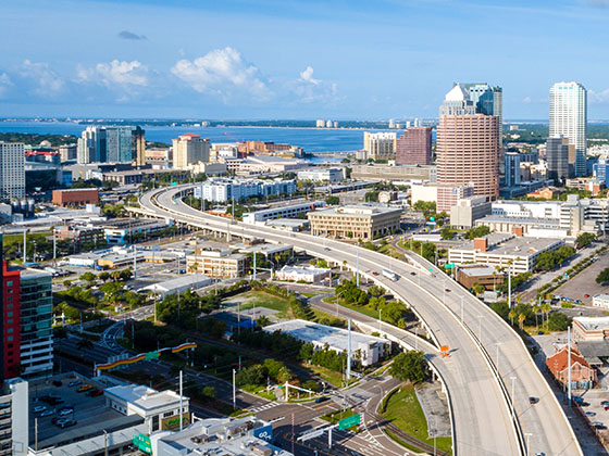
 Polk Parkway ▹
 Selmon Expressway ▹
 Suncoast Parkway/Veterans Expy ▹
 Sunshine Skyway ▹
 Pinellas Bayway ▹
 Gateway Expressway ▹
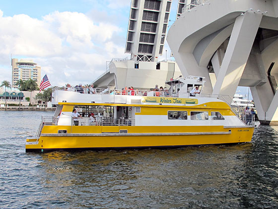
 Airport Expressway ▹
 Alligator Alley ▹
 Dolphin Expressway ▹
 Don Shula Expressway ▹
 Gratigny Parkway ▹
 Sawgrass Expressway ▹
 Snapper Creek Expressway ▹
 Rickenbacker Causeway ▹
 Venetian Causeway ▹
 Card Sound Road ▹
 Sanibel Causeway ▹
 Midpoint Memorial Bridge ▹
 Cape Coral Bridge ▹