Your selected location relative to roadway
See below for more about this area
See below for more about this area
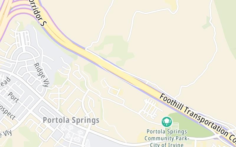
This toll point is located in North Tustin. Tustin and Irvine are nearby. NOTE: SB toll gantry.
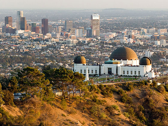
This location is in the Greater Los Angeles area.
This location's approximate GPS Coordinates are 33.70280 x -117.70794.
On to CA 241 NB to CA 133 SB, about 0.5 miles away ►
◄ Back to Tomato Springs Mainline NB, about 0.3 miles away.
Above: Map image © TomTom Intl BVThe interactive map will help you orient this location in relationship to other junctions.
Current driving conditions and weather may also be found below the map.

Mostly Cloudy
64°F / 17.5°C
Feels Like:
68°F / 19.8°C
Visibility
10 Mi / 16.1 Km
3-Hour Precip:
0 In / 0.0 Cm
West Southwest
Winds (WSW)
8.3 MPH / 13.4 KPH
Gusts:
15.3 MPH / 24.6 KPH
▸ Get the full forecast for the Greater Los Angeles area
Conditions and forecasts provided in partnership with AccuWeather.

Weather provided in partnership with AccuWeather.
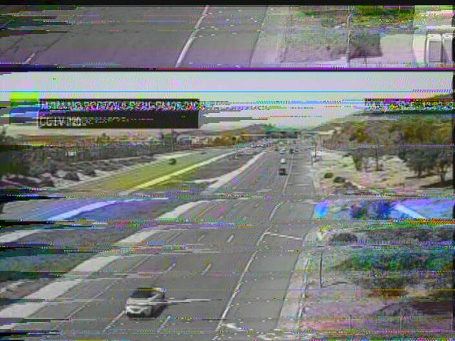
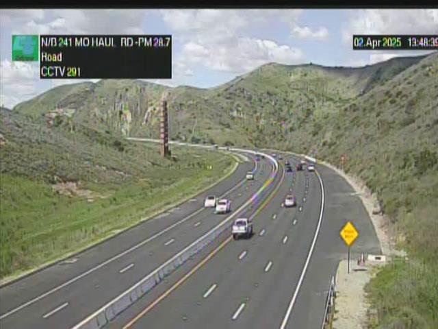
CA-241 @ PORTOLA PKWY
Camera Direction: NORTH. Source: Caltrans - Los Angeles 92610
Cameras Closest To Tomato Springs Mainline SB
0.99 Mi
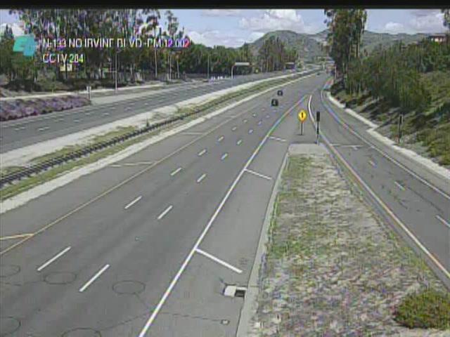
1.56 Mi
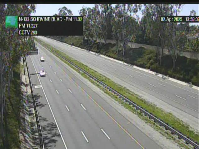
2.11 Mi
2.54 Mi

2.88 Mi
There are no currently-available photos for this location.
Journey to key destinations around and adjacent to California!
Communities in this metro area include Los Angeles, Long Beach, Irvine, San Juan Capistrano, and Santa Ana.
Individual toll maps for this region are listed below.
Communities in this metro area include San Francisco, San Jose, Sausalito, and Menlo Park.
Individual toll maps for this region are listed below.
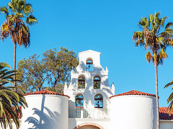
Communities in this metro area include San Diego, Chula Vista, and Tijuana, Mexico.
Individual toll maps for this region are listed below.
 CA 73 ▹
 CA 133 ▹
 CA 241 ▹
 CA 261 ▹
 Antioch Bridge ▹
 Benicia Martinez Bridge ▹
 Carquinez Bridge ▹
 Dumbarton Bridge ▹
 Golden Gate Bridge ▹
 Richmond San Rafael Bridge ▹
 San Mateo Hayward Bridge ▹
 South Bay Expressway ▹


