About This Location
At A Glance
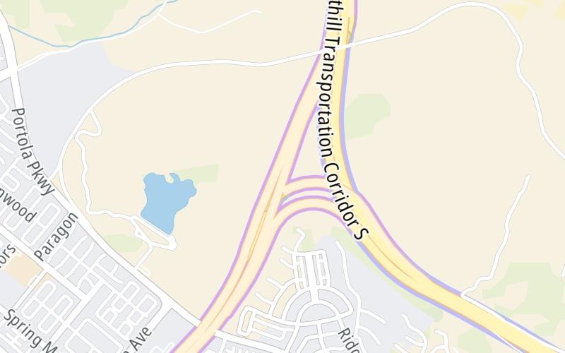
This toll point is located in Irvine. NOTE: NB toll gantry.
This location is in the Greater Los Angeles area.
This location's approximate GPS Coordinates are 33.71175 x -117.72355.
On to Orange Grove Mainline SB, about 0.3 miles away ►
◄ Back to CA 241 South, about 0.1 miles away.
Above: Map image © TomTom Intl BVUsing The POI Map
The interactive map will help you orient this location in relationship to other junctions.
Current driving conditions and weather may also be found below the map.


 CA 73 ▹
 CA 133 ▹
 CA 241 ▹
 CA 261 ▹
 Antioch Bridge ▹
 Benicia Martinez Bridge ▹
 Carquinez Bridge ▹
 Dumbarton Bridge ▹
 Golden Gate Bridge ▹
 Richmond San Rafael Bridge ▹
 San Mateo Hayward Bridge ▹
 South Bay Expressway ▹


