About This Location
At A Glance
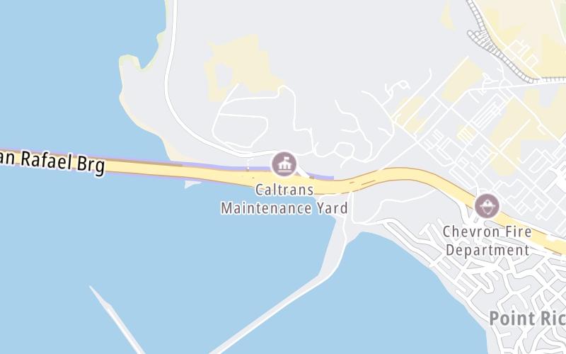
This toll point is located in Richmond.
This location is in the San Francisco Bay Area area.
This location's approximate GPS Coordinates are 37.93246 x -122.40325.
On to Stenmark Drive / to Point Molate, about 0.4 miles away ►
◄ Back to San Quentin State Prison / Francisco Blvd E, about 4.3 miles away.
Above: Map image © TomTom Intl BVUsing The POI Map
The interactive map will help you orient this location in relationship to other junctions.
Current driving conditions and weather may also be found below the map.


 CA 73 ▹
 CA 133 ▹
 CA 241 ▹
 CA 261 ▹
 Antioch Bridge ▹
 Benicia Martinez Bridge ▹
 Carquinez Bridge ▹
 Dumbarton Bridge ▹
 Golden Gate Bridge ▹
 Richmond San Rafael Bridge ▹
 San Mateo Hayward Bridge ▹
 South Bay Expressway ▹


