About This Location
At A Glance
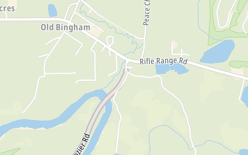
This toll point is located in Wetumpka. Montgomery is nearby. NOTE: Emerald Mountain Expressway toll plaza and business office.
This location is in the Montgomery - South Alabama area.
This location's approximate GPS Coordinates are 32.43590 x -86.12211.
On to Rifle Range Road, about 0.2 miles away ►
◄ Back to Eddie L Tullis Road, about 1.4 miles away.
Above: Map image © TomTom Intl BVUsing The POI Map
The interactive map will help you orient this location in relationship to other junctions.
Current driving conditions and weather may also be found below the map.


 Tuscaloosa By Pass ▹
 Emerald Mountain Expressway ▹
 Montgomery Expressway ▹

 Garcon Point Bridge ▹
 Bob Sikes Bridge ▹
 SR 293 ▹


