Search to find available roads, plazas, agencies, etc.
Driving In The State Of Alabama
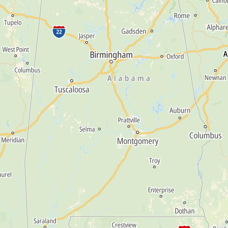
Toll roads are organized alphabetically and by type. They are also sorted into regions on the state's map below. Interstates are sorted numerically.
Alphabetical Toll Road List
There are (3) toll roads in Alabama or crossing into the state.
A menu of Alabama interstate highways is also shown directly below this list.
 Emerald Mountain Expressway
  Montgomery Expressway
  Tuscaloosa By Pass
 Alabama Interstates
Simply tap the shield for the interstate you want to see.
For individual road maps, tap exits and other points of interest to see a close-up map of that location. Exit maps display nearby gas and EV charging, fast-food, hotels and other services.

 Tuscaloosa By Pass ▹
 Emerald Mountain Expressway ▹
 Montgomery Expressway ▹

 Garcon Point Bridge ▹
 Bob Sikes Bridge ▹
 SR 293 ▹


