See below for more about this area
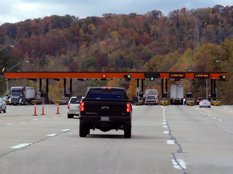
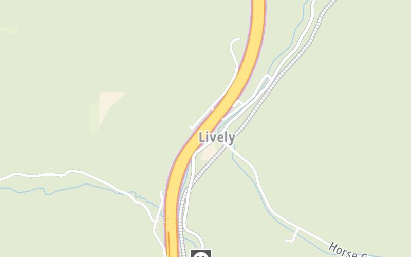
This toll point is located in Pax. Mt Hope is nearby. NOTE: Pax Tolls.
This location is in the Beckley - Princeton area.
This location's approximate GPS Coordinates are 37.93982 x -81.25958.
On to WV 612, about 3.0 miles away ►
◄ Back to CR 23/2, about 1.9 miles away.
Above: Photo by Turnpikes.comThe interactive map will help you orient this location in relationship to other junctions.
Current driving conditions and weather may also be found below the map.
Static map. Interactive map is above.Rain
65°F / 18.3°C
Feels Like:
62°F / 16.9°C
Visibility
12 Mi / 19.3 Km
3-Hour Precip:
0.12 In / 0.3 Cm
West
Winds (W)
7 MPH / 11.2 KPH
Gusts:
14.3 MPH / 22.9 KPH
▸ Get the full forecast for the Beckley - Princeton area
There is no currently-available traffic camera feed for this location.
About this photo:
The Pax-Mt. Hope Toll Plaza on the West Virginia Turnpike, also called Toll Plaza "B", dominates the driver's view on the approach, as seen in this southbound shot. Photo taken October 19, 2022.
Photo taken 10-19-2022
Journey to key destinations around and adjacent to West Virginia!
Communities in this metro area include Charleston, Malden, South Ruffner, and Snow Hill.
Individual toll maps for this region are listed below.
Communities in this metro area include Beckley, Beaver, Mac Arthur, Daniels, and Shady Spring.
Individual toll maps for this region are listed below.
Communities in this metro area include Parkersburg, North Hills, Vienna, and Belpre, Ohio.
Individual toll maps for this region are listed below.
Communities in this metro area include Pittsburgh, Cranberry Township, Beaver Valley, New Castle, Washington, Uniontown, Cheat Lake, West Virginia, Boardman, Ohio, and Youngstown, Ohio.
Individual toll maps for this region are listed below.