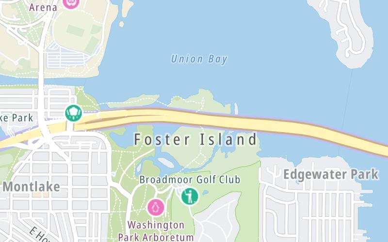
Map & services within two (2) miles
Interactive map shows available cameras, plus nearby fuel, food and lodging


See below for more about this area
Interactive map shows available cameras, plus nearby fuel, food and lodging
See below for more about this area
This junction is located in Seattle. NOTE: WB Off/EB On.
This location is in the Seattle - Tacoma area.
This location's approximate GPS Coordinates are 47.64491 x -122.29110.
Which directions can I travel from here?
From this junction, traffic can only enter going eastbound. Traffic can only exit going westbound.
On to 84th Avenue NE / East Side of Bridge, about 3.0 miles away ►
◄ Back to Montlake Boulevard E, about 0.7 miles away.
Which direction are tolls charged here?
Tolls are not charged or collected at this junction.
Above: Map image © TomTom Intl BVThe interactive map and lists on this page include key traveler services within two miles of this destination point.
You will find common services, including gas stations, truck stops, EV charging facilities, fast-food or family restaurants, and hotels. These are displayed on the interactive map as markers, which you can select for more information.
Current driving conditions and weather, along with a more complete list of key services, may be found below the map.

Light Rain
48°F / 8.9°C
Feels Like:
46°F / 7.7°C
Visibility
6 Mi / 9.7 Km
3-Hour Precip:
0.1 In / 0.3 Cm
South Southwest
Winds (SSW)
2.9 MPH / 4.6 KPH
Gusts:
7 MPH / 11.3 KPH
▸ Get the full forecast for This Location | The Seattle - Tacoma area
Conditions and forecasts provided in partnership with AccuWeather.

Weather provided in partnership with AccuWeather.

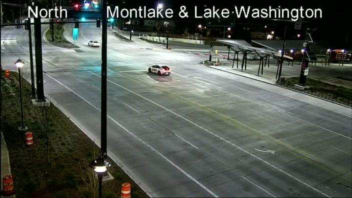
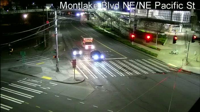
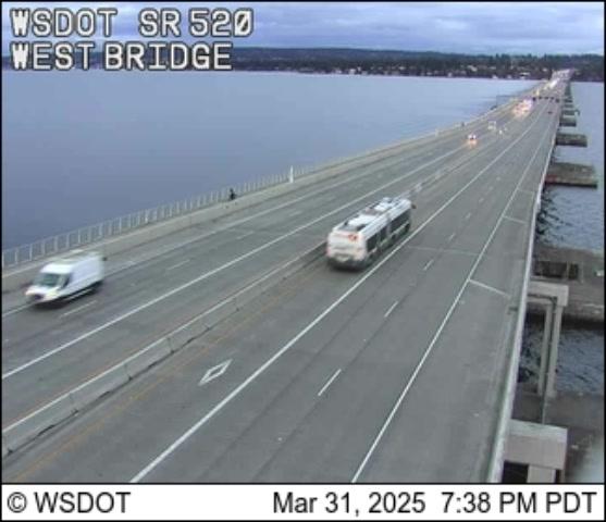
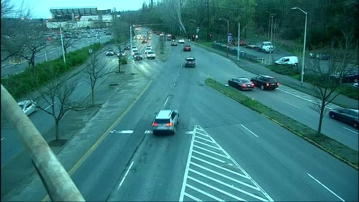
SR 520 @ FOSTER ISLAND
Camera Direction: WEST. Source: WSDOT - Seattle 98112
Cameras Closest To Lake Washington Blvd E / West Side of Bridge
98 Ft
0.61 Mi
0.70 Mi
0.80 Mi
1.12 Mi
There are no currently-available photos for this location.
The map above shows all services within about a two (2) mile radius.

Destination Travel

Closest Gas Stations
MADISON PARK SHELL
3100 East Madison Street • 1.26 miles
Store/Fuel Brand: Shell
CITY OF SEATTLE - FIRE STATION 34 FUEL
633 32nd Avenue East • 1.31 miles
Store/Fuel Brand:
SHELL
1013 Northeast 45th Street • 1.64 miles
Store/Fuel Brand: Shell
CHEVRON
4359 Roosevelt Way Northeast • 1.68 miles
Store/Fuel Brand: Chevron
Closest EV Chargers
4022 EAST MCGILVRA STREET
4022 East McGilvra Street • 0.58 miles
CONNECTOR: IEC62196Type1
POWER: 9 KW @ 240 V
CURRENT: 40 Amp AC1
UNIVERSITY OF WASHINGTON - HUSKY STADIUM - SEATTLE, WA
3800 Montlake Boulevard Northeast • 0.60 miles
CONNECTOR: IEC62196Type1
POWER: 7 KW @ 240 V
CURRENT: 30 Amp AC1
CHARGEPOINT
1959 Northeast Pacific Street • 0.83 miles
CONNECTOR: IEC62196Type1
POWER: 6 KW @ 240 V
CURRENT: 27 Amp AC1
UNIVERSITY OF WASHINGTON - PARKING AREA S1
3500 Columbia Road • 0.99 miles
CONNECTOR: IEC62196Type1
POWER: 7 KW @ 240 V
CURRENT: 30 Amp AC1

Closest Fast Food
Fast food refers ONLY to quick-service and take-out diners. All restaurant types are shown on the map above.
BURBS BURGERS MONTLAKE
2010 East Roanoke Street • 0.64 miles
GREAT STATE BURGER
3600 Northeast 45th Street • 1.14 miles
BURGERMASTER
3040 Northeast 45th Street • 1.16 miles
CHIPOTLE
2626 Northeast 46th Street • 1.23 miles
EINSTEIN BROTHERS BAGELS
2746 Northeast 45th Street • 1.23 miles
EVERGREENS
4611 Village Terrace Northeast • 1.23 miles
VOLUNTEER PARK CAFE
1501 17th Avenue East • 1.24 miles
MOCHINUT
2606 Northeast 46Th Street • 1.24 miles
Journey to key destinations around and adjacent to Washington!
Communities in this metro area include Seattle, Tacoma, Bellevue, Redmond, Kirkland, Artondale, and University Place.
Individual toll maps for this region are listed below.
 Tacoma Narrows Bridge ▹
 SR 99 Tunnel ▹
 SR 520 Bridge ▹


