Search to find available roads, plazas, agencies, etc.
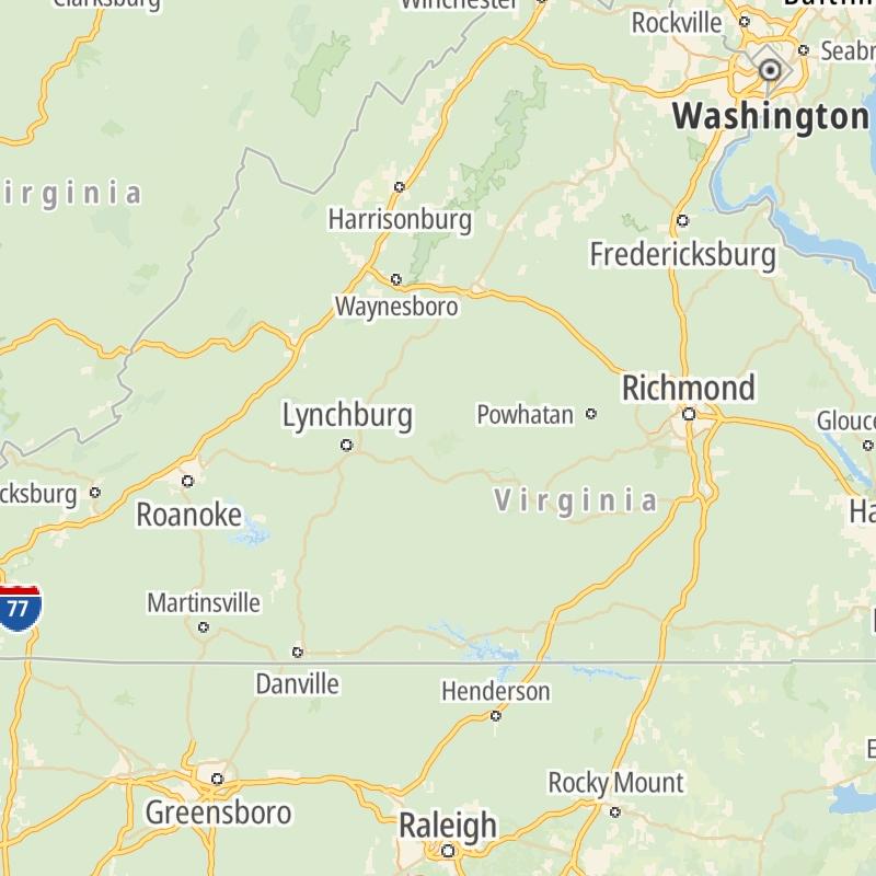
Driving In The Commonwealth Of Virginia
Toll roads are organized alphabetically and by type. They are also sorted into regions on the commonwealth's map below. Interstates are sorted numerically.
Alphabetical Toll Road List
There are (12) toll roads in Virginia or crossing into the commonwealth.
A menu of Virginia interstate highways is also shown directly below this list.
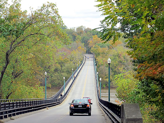
 Boulevard Bridge
  Chesapeake Bay Bridge Tunnel
  Chesapeake Expressway
  Dominion Boulevard Veterans Bridge
  Downtown Expressway
  Downtown Tunnel
  Dulles Greenway
  Midtown Tunnel
  Pocahontas Parkway
  Powhite Parkway
  South Norfolk Jordan Bridge
 Virginia Interstates
Simply tap the shield for the interstate you want to see.
For individual road maps, tap exits and other points of interest to see a close-up map of that location. Exit maps display nearby gas and EV charging, fast-food, hotels and other services.
 Boulevard Bridge ▹
 Downtown Expressway ▹
 Pocahontas Parkway ▹
 Powhite Parkway ▹
 Chesapeake Bay Bridge Tunnel ▹
 Chesapeake Expressway ▹
 Downtown Tunnel ▹
 South Norfolk Jordan Bridge ▹
 Midtown Tunnel ▹
 Dominion Boulevard Veterans Bridge ▹
 Wm Preston Lane Jr Memorial Bridge ▹
 Intercounty Connector MD 200 ▹
 Dulles Greenway ▹
 PA Turnpike 66 ▹
 Beaver Valley Expressway ▹
 Mon Fayette Expressway ▹
 Pennsylvania Turnpike ▹
 Ohio Turnpike ▹
 PA Turnpike 576 ▹
 West Virginia Turnpike ▹


