Right Now In Richmond
Travel Conditions In Virginia's Capital Area
Current Weather And Visibility
2:29 am Local Time

Mostly Cloudy
62°F / 16.9°C
Feels Like:
62°F / 16.6°C

Visibility
6 Mi / 9.7 Km
3-Hour Precip:
0.08 In / 0.2 Cm
North Northwest
Winds (NNW)1.1 MPH / 1.7 KPH
Gusts:
3.2 MPH / 5.1 KPH
Conditions and forecasts provided in partnership with AccuWeather.

Weather provided in partnership with AccuWeather.
Key Metro Areas In Virginia
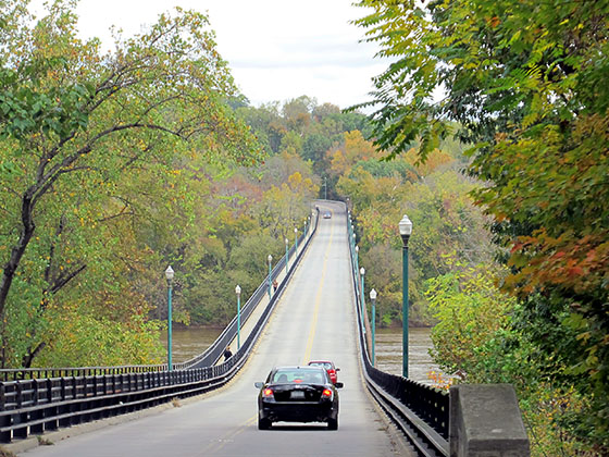
Richmond - State Capital
Includes the following communities: Richmond, Meadowbrook, Manchester, and Brandermill.
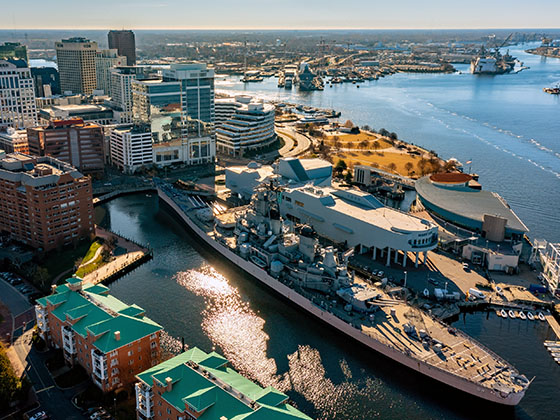
Norfolk - Chesapeake
Includes the following communities: Norfolk, Chesapeake, Virginia Beach, Newport News, Portsmouth, Suffolk, and Moyock, North Carolina.
Virginia Interstates
Simply tap the shield for the interstate you want to see.
Weather radar and forecasts for all Virginia's metro areas follow the jump. Regional and roadway weather include traffic cameras to view real-time driving conditions.
Your capital city driving conditions and forecast follow the jump. You will also find an extended forecast, for extended travel planning in Virginia's capital.
 Boulevard Bridge ▹
 Downtown Expressway ▹
 Pocahontas Parkway ▹
 Powhite Parkway ▹
 Chesapeake Bay Bridge Tunnel ▹
 Chesapeake Expressway ▹
 Downtown Tunnel ▹
 South Norfolk Jordan Bridge ▹
 Midtown Tunnel ▹
 Dominion Boulevard Veterans Bridge ▹


 Wm Preston Lane Jr Memorial Bridge ▹
 Intercounty Connector MD 200 ▹
 Dulles Greenway ▹
 PA Turnpike 66 ▹
 Beaver Valley Expressway ▹
 Mon Fayette Expressway ▹
 Pennsylvania Turnpike ▹
 Ohio Turnpike ▹
 PA Turnpike 576 ▹
 West Virginia Turnpike ▹


