Northeast Minnesota Traffic And Weather

 U.S. National Weather Service Weather Alert

Winter Storm Warning

Area: Central St. Louis

View Alert

Right Now In The Northeast Minnesota Area

Current Weather And Visibility

1:31 am Local Time

  • 01 7 04
  • Light Snow

    31°F / -0.5°C

    Feels Like:

    23°F / -4.9°C

  • Visibility

    2 Mi / 3.2 Km

    3-Hour Precip:

    0.03 In / 0.1 Cm

  • East Southeast
    Winds (ESE)

    7.3 MPH / 11.7 KPH

    Gusts:

    19 MPH / 30.5 KPH

Conditions and forecasts provided in partnership with AccuWeather.

AccuWeather logo

Weather provided in partnership with AccuWeather.

AccuWeather logo

Forecast weather and up-to-the-minute driving conditions follow the jump. These include an hour-by-hour forecast for the next 12-hours, a three-day forecast and an extended forecast, for extended travel planning.

Weather radar and available traffic cameras are below.

Travel Forecast Radar & Map

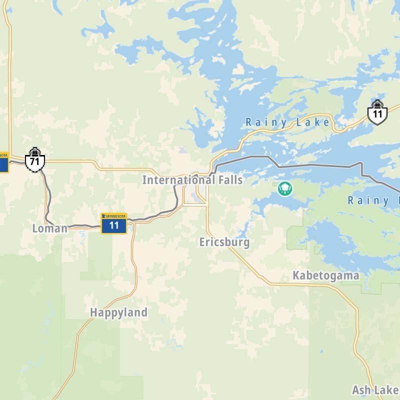
Static Map Of The Northeast Minnesota Area

An interactive traffic map can be found below.

Static map of the Northeast Minnesota area.

An interactive traffic map shows driving conditions, from current traffic to mother nature's influence on the road. These follow the short-range forecasts below.
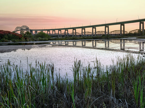
Travel Forecast Radar & Traffic

Advertising
Advertising

Driving Around The Northeast Minnesota Area

12-Hour Forecast

1:31 am Local Time

Conditions and forecasts provided in partnership with AccuWeather.

AccuWeather logo

Weather provided in partnership with AccuWeather.

AccuWeather logo
Advertising
Advertising

Weather Radar & Satellite Imagery

Minnesota Radar & Satellite

NOAA composite satellite & weather radar imagery.

Images from GOES-East Upper Mississippi Valley Sector. Sequence may take a moment to initialize.

  • GOES 16: GOES-East Upper Mississippi Valley Sector
  • GOES 16: GOES-East Upper Mississippi Valley Sector
  • GOES 16: GOES-East Upper Mississippi Valley Sector
  • GOES 16: GOES-East Upper Mississippi Valley Sector
  • GOES 16: GOES-East Upper Mississippi Valley Sector
  • GOES 16: GOES-East Upper Mississippi Valley Sector
  • GOES 16: GOES-East Upper Mississippi Valley Sector
  • GOES 16: GOES-East Upper Mississippi Valley Sector
Advertising
Advertising

Northeast Minnesota Regional Traffic Map

Traffic Cameras And Incidents

This region-wide interactive map lets you pick exits and other markers for conditions at that location. Available cameras will show real-time traffic conditions, in addition to weather conditions and forecasts those locations.

Advertising
Advertising

Extended Forecast For Northeast Minnesota

Ten (10) Day Travel Planner

Go Online Before You Go On The Road!®

Conditions and forecasts provided in partnership with AccuWeather.

AccuWeather logo

Weather provided in partnership with AccuWeather.

AccuWeather logo
Advertising
Advertising

EXPLORE MINNESOTA

Journey to key destinations around and adjacent to Minnesota!

Map Of This Region ▹

Communities in this metro area include Duluth and International Falls.

Individual toll maps for this region are listed below.

Map Of This Region ▹

Communities in this metro area include Minneapolis, St Paul, Brooklyn Park, and Maple Grove.

Individual toll maps for this region are listed below.

twin cities metro

Roads Within Region

Map Of This Region ▹

Map Of This Region ▹

Communities in this metro area include Sault Ste Marie, Thunder Bay, Fort Frances, and Greater Sudbury.

Individual toll maps for this region are listed below.

Advertising
Advertising
Turnpikes.com is proud to partner with the following: