Search to find available roads, plazas, agencies, etc.
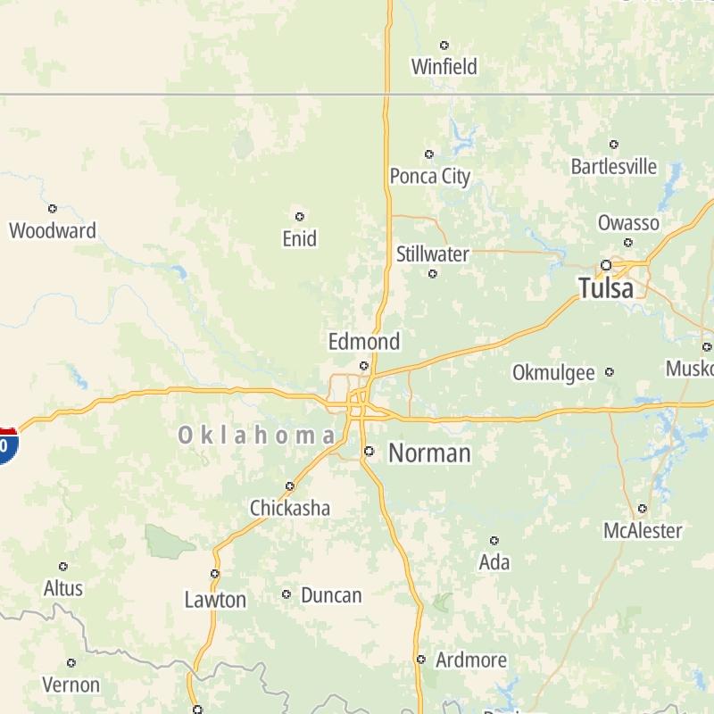
Driving In The State Of Oklahoma
Toll roads are organized alphabetically and by type. They are also sorted into regions on the state's map below. Interstates are sorted numerically.
Alphabetical Toll Road List
There are (12) toll roads in Oklahoma or crossing into the state.
A menu of Oklahoma interstate highways is also shown directly below this list.
 Cherokee Turnpike
  Chickasaw Turnpike
  Creek Turnpike
  Gilcrease Expressway West
  H E Bailey Turnpike
  Indian Nation Turnpike
  John Kilpatrick Turnpike
  Kickapoo Turnpike
  Muskogee Turnpike
  Turner Turnpike
  Will Rogers Turnpike
 Oklahoma Interstates
Simply tap the shield for the interstate you want to see.
For individual road maps, tap exits and other points of interest to see a close-up map of that location. Exit maps display nearby gas and EV charging, fast-food, hotels and other services.

 Cimarron Turnpike ▹
 Creek Turnpike ▹
 Muskogee Turnpike ▹
 Turner Turnpike ▹
 Will Rogers Turnpike ▹
 Gilcrease Expressway West ▹

 H E Bailey Turnpike ▹
 Indian Nation Turnpike ▹
 John Kilpatrick Turnpike ▹
 Kickapoo Turnpike ▹
 Chickasaw Turnpike ▹

 Addison Airport Toll Tunnel ▹
 Chisholm Trail Parkway ▹
 Dallas North Tollway ▹
 Lewisville Lake Toll Bridge ▹
 Mountain Creek Lake Toll Bridge ▹
 President George Bush Turnpike ▹
 Sam Rayburn Tollway ▹
 360 Tollway ▹
 Kansas Turnpike ▹


