At A Glance
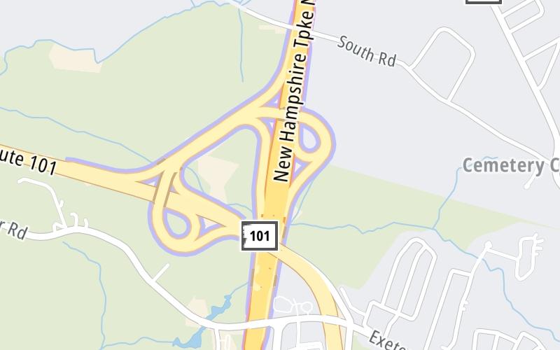
This toll point is located in Hampton.
This location is in the Portsmouth - Dover area.
This location's approximate GPS Coordinates are 42.96266 x -70.85621.
On to NH 33/Greenland Road, about 7.0 miles away ►
◄ Back to NH 101/Exeter–Hampton Expressway, about 0.3 miles away.
Above: Map image © TomTom Intl BVUsing The POI Map
The interactive map will help you orient this location in relationship to other junctions.
Current driving conditions and weather may also be found below the map.
Because of the nature of this location, no services are displayed. On most exit or junction pages, a summary of the closest services around the junction will be shown, along with detailed lists of services within two miles.


 Everett Turnpike ▹
 Blue Star Turnpike ▹
 Spaulding Turnpike ▹
 Maine Turnpike ▹


