Map & services within two (2) miles
Interactive map shows available cameras, plus nearby fuel, food and lodging


See below for more about this area
Interactive map shows available cameras, plus nearby fuel, food and lodging
See below for more about this area
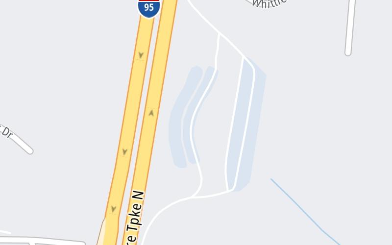
This travel plaza is located in Seabrook. NOTE: Northbound.
This location is in the Portsmouth - Dover area; it also overlaps with the Boston area.
This location's approximate GPS Coordinates are 42.88463 x -70.88093.
On to NH 107, about 0.7 miles away ►
◄ Back to Massachusetts / I–95, about 0.3 miles away.
Above: Map image © TomTom Intl BVThe interactive map and lists on this page include key traveler services within two miles of this destination point.
You will find common services, including gas stations, truck stops, EV charging facilities, fast-food or family restaurants, and hotels. These are displayed on the interactive map as markers, which you can select for more information.
Current driving conditions and weather, along with a more complete list of key services, may be found below the map.

Rain
57°F / 14°C
Feels Like:
55°F / 12.6°C
Visibility
2 Mi / 3.2 Km
3-Hour Precip:
0.12 In / 0.3 Cm
Southwest
Winds (SW)
3.2 MPH / 5.2 KPH
Gusts:
8.2 MPH / 13.2 KPH
▸ Get the full forecast for This Location | The Portsmouth - Dover area
Conditions and forecasts provided in partnership with AccuWeather.

Weather provided in partnership with AccuWeather.
There is no currently-available traffic camera feed for this location.
There are no currently-available photos for this location.
The map above shows all services within about a two (2) mile radius.

Destination Travel

Closest Gas Stations
IRVING
361 Lafayette Road • 0.55 miles
Store/Fuel Brand: Irving
RICHDALE CONVENIENCE STORE
472 Lafayette Road • 0.56 miles
Store/Fuel Brand:
HORSESHOE MARKET
663 Lafayette Road • 0.65 miles
Store/Fuel Brand: Mobil
BJS WHOLESALE CLUB
30 Perkins Ave • 0.65 miles
Store/Fuel Brand: BJ's
Closest EV Chargers
CASA TEQUILA
626 Lafayette Road • 0.73 miles
CONNECTOR: IEC62196Type1
POWER: 7 KW @ 240 V
CURRENT: 30 Amp AC1
WALMART - SEABROOK
700 Lafayette Road • 0.94 miles
CONNECTOR: Tesla
POWER: 150 KW @ 400 V
CURRENT: 375 Amp DC
WALMART SUPERCENTER - SEABROOK, NH
700 Lafayette Road • 0.99 miles
CONNECTOR: Chademo
POWER: 150 KW @ 400 V
CURRENT: 375 Amp DC
THE BROOK - SUPERCHARGER
319 New Zealand Road • 1.36 miles
CONNECTOR: Tesla
POWER: 325 KW @ 400 V
CURRENT: 812 Amp DC

Closest Fast Food
Fast food refers ONLY to quick-service and take-out diners. All restaurant types are shown on the map above.
BURGER KING SEABROOK
549 Lafayette Road • 0.61 miles
FIVE GUYS
380 Lafayette Road • 0.66 miles
KFC SEABROOK
306 Lafayette Road • 0.66 miles
TACO BELL
306 Lafayette Road • 0.66 miles
WENDY'S
570 Lafayette Road • 0.68 miles
MCDONALD'S
710 Lafayette Road • 0.84 miles
BURGER KING
66 Main Street • 1.05 miles
LENA'S SEAFOOD
131 Rabbit Road • 1.23 miles
Journey to key destinations around and adjacent to New Hampshire!
Communities in this metro area include Hooksett, Concord, Manchester, and West Concord.
Individual toll maps for this region are listed below.

Communities in this metro area include Portsmouth, Dover, Durham, Rochester, Kittery, Maine, and York, Maine.
Individual toll maps for this region are listed below.

 Everett Turnpike ▹
 Blue Star Turnpike ▹
 Spaulding Turnpike ▹
 Maine Turnpike ▹


