Northeast Minnesota Toll Maps

Regional photo of Northeast Minnesota

Using The Interactive Regional Map

The Northeast Minnesota metro area map shows exits and toll points for region-wide toll roads or other toll roads that cross the region.

View Map ▾Road List ▾

Only the following toll road is in this area:
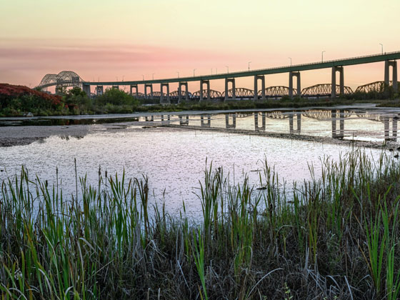
The Northeast Minnesota area includes the following cities: Duluth and International Falls.

Markers on the interactive map can be selected to get close-up views of exit points, toll gantries and other locations and points-of-interest. Each POI map shows all nearby dining, gas, EV charging, hotels and other services.

View Map ▾Road List ▾

A complete list of exits and other points-of-interest in the Northeast Minnesota area follows the map. Exit lists are sorted by toll road.

Advertising
Advertising

Regional Map For Northeast Minnesota

Pan and zoom the map as desired, and select or tap the interactive markers to get information about that specific location. Each marker also includes options for viewing a close-up map of the destination point.

A complete list of exits and other points-of-interest is below this map, and other regions are shown further down the page.

Advertising
Advertising

Regional Exits, Listed By Toll Road

A list of all exits and other points-of-interest in this region, sorted by toll road.

Great River Road

Great River Road — International Falls

View Map & Info

▸ GPS 48.602712280 X -93.402194000

Aazhogan LP Aazhogan Limited Partnership manages this segment.

International Bridge Tolls

International Bridge Tolls — International Falls

View Map & Info

▸ GPS 48.605032538 X -93.402289158
NOTES: US toll to Canada

Aazhogan LP Aazhogan Limited Partnership manages this segment.

US Customs

US Customs — International Falls

Border Crossing Checkpoint - ID Required!

▸ GPS 48.605781800 X -93.402978712
NOTES: Customs and Border Protection checkpoint

Aazhogan LP Aazhogan Limited Partnership manages this segment.

United States / Canada Border

United States / Canada Border

International Border

▸ GPS 48.607797031 X -93.401457268
NOTES: Rainy River

Aazhogan LP Aazhogan Limited Partnership manages this segment.

Canada Border Services

Canada Border Services — Fort Frances

Border Crossing Checkpoint - ID Required!

▸ GPS 48.608666795 X -93.399950572
NOTES: Canada Border Services Agency

Aazhogan LP Aazhogan Limited Partnership manages this segment.

ON 71 / Church Street

ON 71 / Church Street — Fort Frances

View Map & Info

▸ GPS 48.608993332 X -93.400221360
NOTES: Access point to United States

Aazhogan LP Aazhogan Limited Partnership manages this segment.

Advertising
Advertising

EXPLORE MINNESOTA

Journey to key destinations around and adjacent to Minnesota!

Map Of This Region ▹

Communities in this metro area include Duluth and International Falls.

Individual toll maps for this region are listed below.

Map Of This Region ▹

Communities in this metro area include Minneapolis, St Paul, Brooklyn Park, and Maple Grove.

Individual toll maps for this region are listed below.

twin cities metro

Roads Within Region

Map Of This Region ▹

Map Of This Region ▹

Communities in this metro area include Sault Ste Marie, Thunder Bay, Fort Frances, and Greater Sudbury.

Individual toll maps for this region are listed below.

Turnpikes.com is proud to partner with the following: