International Bridge At International Bridge Tolls

Advertising
Advertising

Your selected location relative to roadway

See below for more about this area

Advertising
Advertising

About This Location

International Bridge Tolls

At A Glance

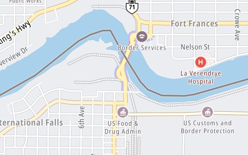
This toll point is located in International Falls. NOTE: US toll to Canada.

This location is in the Northeast Minnesota area.

Interactive Map Above

This location's approximate GPS Coordinates are 48.60503 x -93.40229.

On to US Customs, about 0.0 miles away ►

◄ Back to Great River Road, about 0.2 miles away.

View Map Travel Conditions

Above: Map image © TomTom Intl BV

Using The POI Map

The interactive map will help you orient this location in relationship to other junctions.

Current driving conditions and weather may also be found below the map.

View Map Weather

Static map of International Bridge at International Bridge Tolls
Static map. Interactive map is above.
Advertising
Advertising

Travel Conditions At International Bridge Tolls

Current Weather And Visibility

  • 19 7 03
  • Sunny

    33°F / 0.5°C

    Feels Like:

    33°F / 0.4°C

  • Visibility

    14 Mi / 22.5 Km

    3-Hour Precip:

    0 In / 0.0 Cm

  • Northwest
    Winds (NW)

    8.2 MPH / 13.1 KPH

    Gusts:

    11.9 MPH / 19.2 KPH

▸ Get the full forecast for the Northeast Minnesota area

Available Cameras

No camera feed …

There is no currently-available traffic camera feed for this location.

Advertising
Advertising

Travel Pictures

No photos …

There are no currently-available photos for this location.

Advertising
Advertising

EXPLORE MINNESOTA

Journey to key destinations around and adjacent to Minnesota!

Map Of This Region ▹

Communities in this metro area include Duluth and International Falls.

Individual toll maps for this region are listed below.

Map Of This Region ▹

Communities in this metro area include Minneapolis, St Paul, Brooklyn Park, and Maple Grove.

Individual toll maps for this region are listed below.

twin cities metro

Roads Within Region

Map Of This Region ▹

Map Of This Region ▹

Communities in this metro area include Sault Ste Marie, Thunder Bay, Fort Frances, and Greater Sudbury.

Individual toll maps for this region are listed below.

Advertising
Advertising
Turnpikes.com is proud to partner with the following: