Traveling Minnesota Toll Roads
The Quick Toll Road Finder

Minnesota's Toll facility

Minnesota Interstates
Interstates are a new feature, and most interstate maps are still under construction.
Search to find available roads, plazas, agencies, etc.
Find your way with our toll maps to guide you. View metro areas or pick a road.
Travel weather and forecasts. See the road with available traffic cameras.
Pay tolls to the right agency. Pay online or find payment centers.
The Quick Toll Road Finder
Interstates are a new feature, and most interstate maps are still under construction.
We have partnered with Tiqets.com to bring you these great deals on attractions and destinations!
Journey to key destinations around and adjacent to Minnesota!
Communities in this metro area include Duluth and International Falls.
Individual toll maps for this region are listed below.
Communities in this metro area include Minneapolis, St Paul, Brooklyn Park, and Maple Grove.
Individual toll maps for this region are listed below.

Roads Within Region
Communities in this metro area include Sault Ste Marie, Thunder Bay, Fort Frances, and Greater Sudbury.
Individual toll maps for this region are listed below.
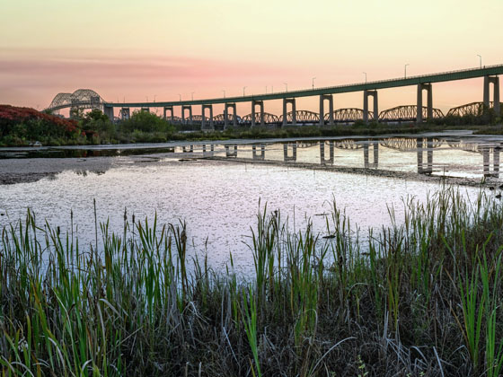
 International Bridge ▹
 Mackinac Bridge ▹


