About This Location
At A Glance
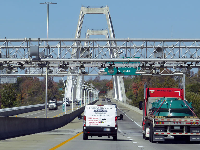
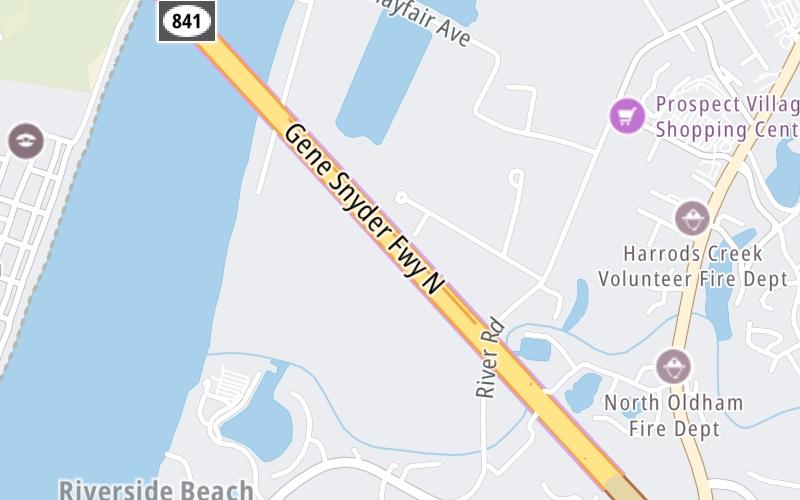
This toll point is located in Louisville. NOTE: Toll gantry on Kentucky side of Ohio River, between tunnel and bridge span.
This location is in the Louisville - Southern Indiana area.
This location's approximate GPS Coordinates are 38.33537 x -85.63475.
On to Old Salem Road, about 2.3 miles away ►
◄ Back to Gene Snyder Fwy at I–71, about 3.1 miles away.
This location also connects with Indiana.
Above: Photo by Turnpikes.comUsing The POI Map
The interactive map will help you orient this location in relationship to other junctions.
Current driving conditions and weather may also be found below the map.


 Lewis And Clark Bridge ▹
 Abraham Lincoln Bridge ▹


