About This Location
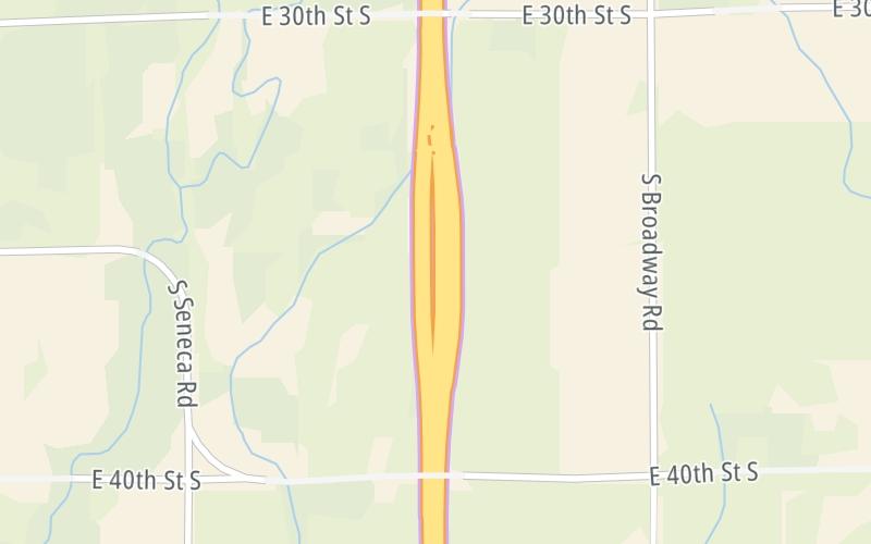
At A Glance
This toll point is located in Wellington.
This location is in the Wichita - Mcconnel AFB area; it also overlaps with the Oklahoma State University area.
This location's approximate GPS Coordinates are 37.23865 x -97.33868.
On to US 160, about 2.6 miles away ►
◄ Back to US 166 / US 81, about 12.5 miles away.
Above: Map image © TomTom Intl BVUsing The POI Map
The interactive map will help you orient this location in relationship to other junctions.
Current driving conditions and weather may also be found below the map.


 Kansas Turnpike ▹

 Cimarron Turnpike ▹
 Creek Turnpike ▹
 Muskogee Turnpike ▹
 Turner Turnpike ▹
 Will Rogers Turnpike ▹
 Gilcrease Expressway West ▹


