Kansas Toll Maps

Search to find available roads, plazas, agencies, etc.

Maps Of The State Of Kansas

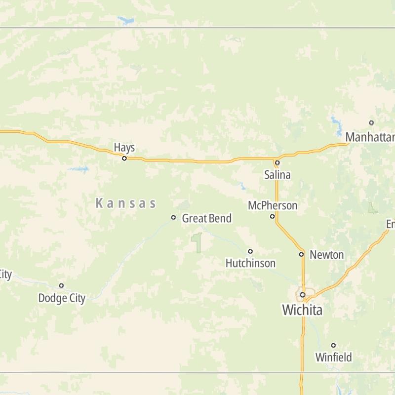
Driving In The State Of Kansas

Roads are organized alphabetically, by type, and into regions on the state's map below. The map is fully interactive, so you can pan and zoom, and select markers and find the toll roads in your chosen metro area.

State Map ▾Regional Maps ▾Roads By Type ▾

Only the following toll road is in Kansas:

View Map ▾Roads By Type ▾

On individual road maps, tap exits or points of interest for a complete listing of nearby gas and EV charging, fast-food, hotels and other services.

Advertising
Advertising

Kansas Maps By Metro Area

Metro Area Road Lists

Open Kansas regions for a regional map and to view a list of individual road maps within the region. Select individual roads or the regional map for a close-up view.

Map Of This Region ▹

Communities in this metro area include Kansas City, Kansas City, Missouri, Topeka, Lawrence, Overland Park, Edwardsville, and Bonner Springs.

Individual toll maps for this region are listed below.

Map Of This Region ▹

Communities in this metro area include Wichita, Bel Aire, Andover, Valley Center, and Maize.

Individual toll maps for this region are listed below.

Map Of This Region ▹

Communities in this metro area include Tulsa, Broken Arrow, Muskogee, Stillwater, Sapulpa, Vinita, Joplin, Missouri, Siloam Springs, Arkansas, and San Springs.

Individual toll maps for this region are listed below.

Map Of This Region ▹

Communities in this metro area include Stillwater and Tulsa.

Individual toll maps for this region are listed below.

Interactive Map For Kansas

The state map displays icons for key regions in Kansas. Select a region for a list of the roads in the region. You can select road maps individually or get a metro-area map of the region.

Advertising
Advertising

Kansas' Toll facility

Kansas Turnpike
Kansas Turnpike Authority
  • maps

  • cond

  • tolls

Advertising
Advertising
Turnpikes.com is proud to partner with the following: