Map & services within two (2) miles
Interactive map shows available cameras, plus nearby fuel, food and lodging


See below for more about this area
Interactive map shows available cameras, plus nearby fuel, food and lodging
See below for more about this area
This is Exit 14 of the Connecticut Turnpike.
This junction is located in Norwalk. NOTE: No NB Off.
This location's approximate GPS Coordinates are 41.10344 x -73.43152.
Which directions can I travel from here?
From this junction, traffic can enter traveling both southbound and northbound. Traffic can only exit going southbound.
On to South Norwalk, about 0.2 miles away ►
◄ Back to Post Road/US 1, about 1.6 miles away.
Which direction are tolls charged here?
Tolls are not charged or collected at this junction.
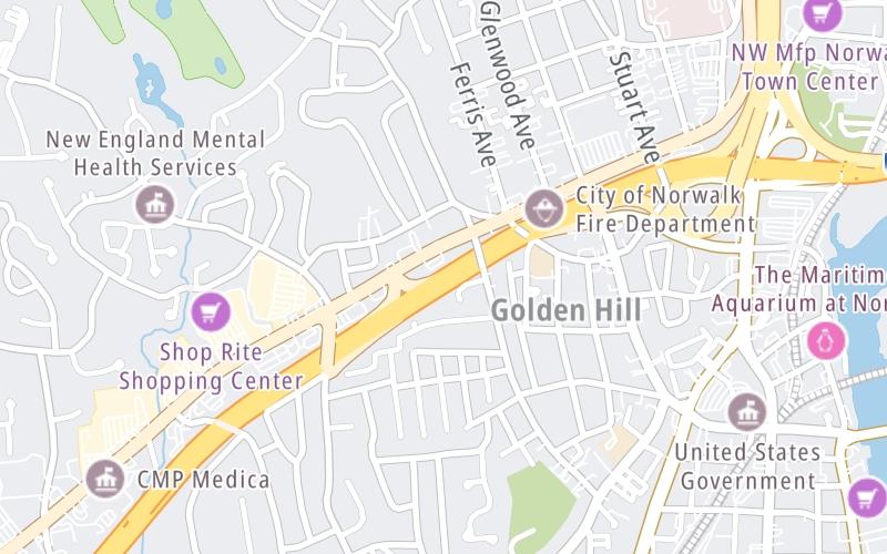
Above: Map image © TomTom Intl BVThe interactive map and lists on this page include key traveler services within two miles of this destination point.
You will find common services, including gas stations, truck stops, EV charging facilities, fast-food or family restaurants, and hotels. These are displayed on the interactive map as markers, which you can select for more information.
Current driving conditions and weather, along with a more complete list of key services, may be found below the map.

Cloudy
45°F / 7.4°C
Feels Like:
42°F / 5.8°C
Visibility
11 Mi / 17.7 Km
3-Hour Precip:
0.01 In / 0.0 Cm
North Northwest
Winds (NNW)
6.2 MPH / 9.9 KPH
Gusts:
16 MPH / 25.7 KPH
▸ Get the full forecast for This Location
Conditions and forecasts provided in partnership with AccuWeather.

Weather provided in partnership with AccuWeather.
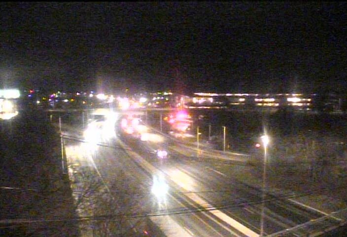
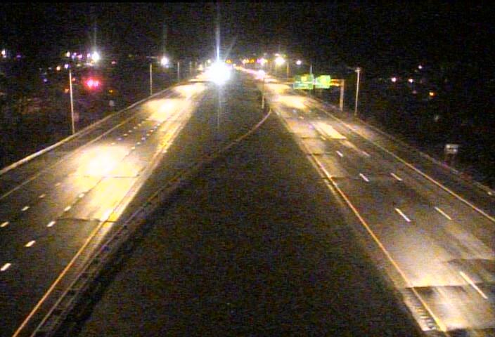
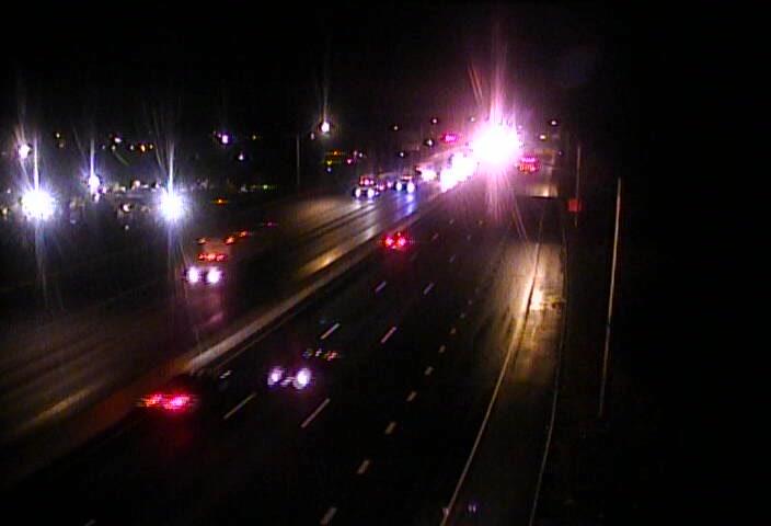
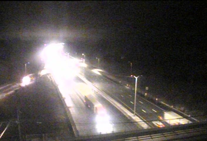
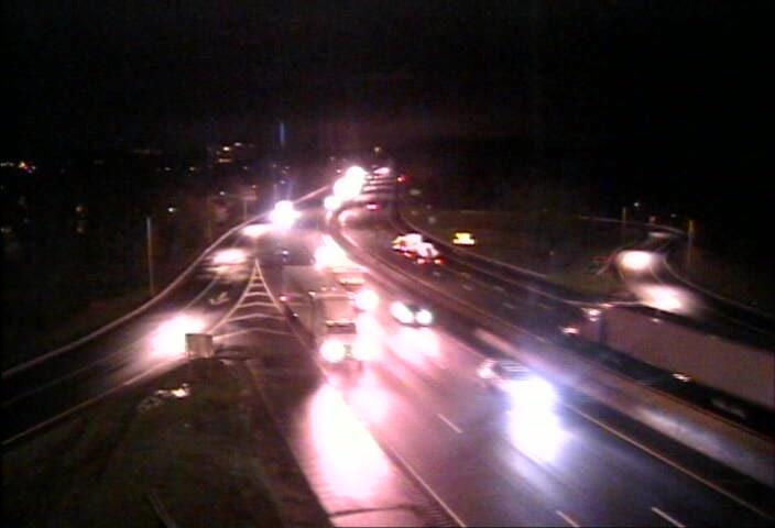
I-95 @ STUART AVE
Camera Direction: SOUTH. Source: ConnDOT - Bridgeport 06850
Cameras Closest To Connecticut Avenue/US 1
0.48 Mi
0.80 Mi
0.93 Mi
1.38 Mi
1.70 Mi
There are no currently-available photos for this location.
The map above shows all services within about a two (2) mile radius.

Destination Travel

Closest Gas Stations
SHELL
307 Connecticut Avenue • 0.46 miles
Store/Fuel Brand: Shell
WEST AVENUE SHELL
94 West Avenue • 0.61 miles
Store/Fuel Brand: Shell
WEST AVENUE NORWALK
331 West Avenue • 0.87 miles
Store/Fuel Brand: Mobil
NORWALK EXXON
104 Connecticut Avenue • 1,685 feet
Store/Fuel Brand: Exxon
Closest EV Chargers
STOP AND SHOP
385 Connecticut Avenue • 0.46 miles
CONNECTOR: IEC62196Type1
POWER: 7 KW @ 240 V
CURRENT: 30 Amp AC1
MARITIME GARAGE
11 North Water Street • 0.66 miles
CONNECTOR: IEC62196Type1
POWER: 8 KW @ 270 V
CURRENT: 32 Amp AC1
THE SONO COLLECTION - NORWALK, CT
100 North Water Street • 0.67 miles
CONNECTOR: IEC62196Type1CCS
POWER: 50 KW @ 400 V
CURRENT: 125 Amp DC
THE SONO COLLECTION LEVEL 1 BLOOMINGDALE'S
100 North Water Street • 0.71 miles
CONNECTOR: IEC62196Type1
POWER: 7 KW @ 240 V
CURRENT: 30 Amp AC1

Closest Fast Food
Fast food refers ONLY to quick-service and take-out diners. All restaurant types are shown on the map above.
JERSEY MIKE'S SUBS
360 Connecticut Avenue • 0.42 miles
BLUE CACTUS GRILL
51 Stevens Street • 0.59 miles
CHICK-FIL-A
467 Connecticut Avenue • 0.64 miles
CAFé OUI
141 West Avenue • 0.67 miles
WENDY'S
496 Connecticut Avenue • 0.68 miles
POPEYES
497 Connecticut Avenue • 0.74 miles
CAFETERIA
5 Maple Street • 0.76 miles
DUNKIN'
544 Connecticut Avenue • 0.81 miles
Journey to key destinations around and adjacent to Connecticut!
Communities in this metro area include New Haven, Bridgeport, Darien, Greenwich, Stamford, and Port Chester, New York.
Individual toll maps for this region are listed below.

Communities in this metro area include Springfield, West Springfield, Chicopee, Westfield, and Hartford, Connecticut.
Individual toll maps for this region are listed below.

 Connecticut Turnpike ▹
 Massachusetts Turnpike ▹


